Descripción
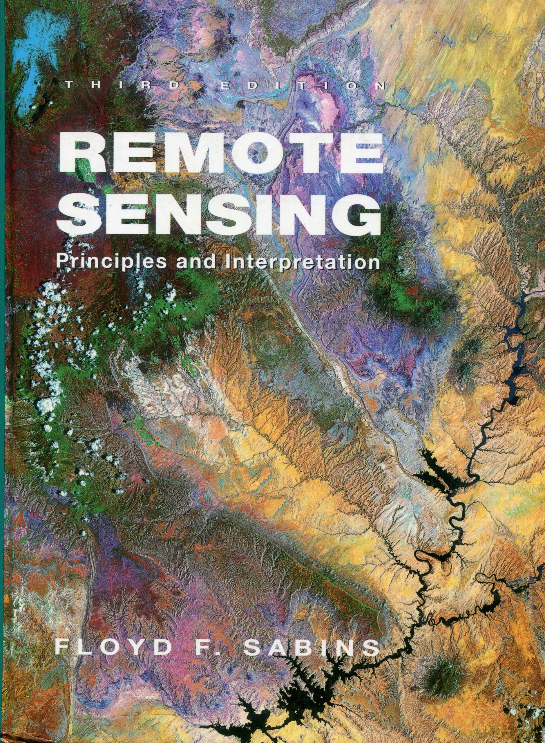
Remote Sensing. Principles and Interpretation *
I n recent years, remóte sensing technology has undergone dramatic changes and these changes are reflected in its significant impact on diverse fields. Nowhere are these advances conveyed more clearly or effectively than in the third edition of Floyd F. Sabins’s Remóte Sensing: Principies and Interpretation. This widely acclaimed text has been thoroughly updated—it contains 50 percent new material—with all the current remóte sensing systems described and i11ustrated.
As in previous editions, the interpretation and application of the images are emphasized, particularly those with an environmental focus in the all-new chapter «Earth Resource and Environmental Satellites.» The new chapter «Land Use and Land Cover: Geographic Information Systems» explains these applications, and the chapter «Natural Hazards» ineludes major recent events, from the Mississippi River floods and Mount Pinatubo eruption to the Landers earthquake.
The text provides increased coverage of resources, marked by the chapters «Oil Exploration,» which describes oil discoveries in Saudi Arabia and Papua New Guinea that were based on remóte sensing, and «Mineral Exploration,» which includes the Collahuasi, Chile copper project—a discovery that was based on digitally processed satellite data. A new chapter, «Meteorologic, Oceanographic, and Environmental Applications,» describes the major advances, the ¡nstruments and their functions now used in these fields.
With twenty-eight color pages of illustrations, Sabins’s trademark clarity, and comprehensive coverage, Remóte Sensing gives students a vivid and contemporary view of the field.

